| |
 |
| |
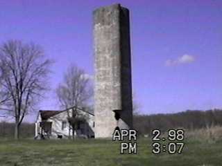
| The Longnecker Cemetery is located about one half mile southeast of the old Longnecker Station. You can get there by leaving Metamora on Route 229. Go to the top of the hill and turn left (east) onto Haytown Road. You will follow this blacktop road for about two miles. At the first stop sign, turn left onto a gravel road. Follow this gravel road, turning left when you come to a "T". You then follow this road north for about one half mile. You will pass a small white house on the right with a large concrete silo beside it. Continue up a curved grade until it levels off. In front of you to the left, you will be able to see the large red brick structure which was the Longnecker station. There is room to park off the road. To the right, you will be able to see a wooded electric pole (looks like a cross from here). You can walk along a tractor path toward that pole, following the edge of the field. The cemetery is hidden in the trees to the right toward the back of this field. |
| |
 |
| |
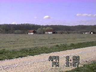
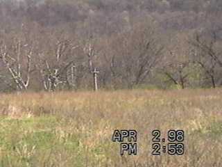
| Continue for about 1/2 mile past this house to the top of the next grade. The cemetery is on the ridge which can be seen in the background. |
| |
 |
| |
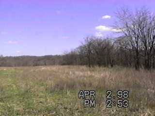
| The Longnecker Station from where you will park at the top of the grade. |
| |
 |
| |
| You can walk along a tractor path following the edge of the field. |
| |
 |
| |
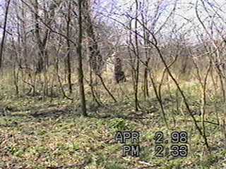
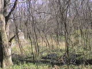
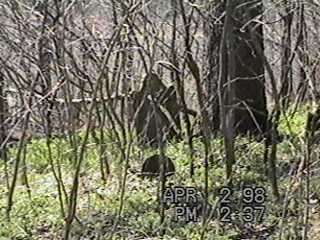
| Walk toward the electric pole that appears to be a cross, but turn before you get to end of the woods on your right. |
| |
 |
| |
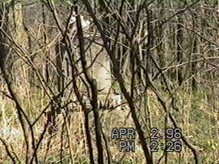
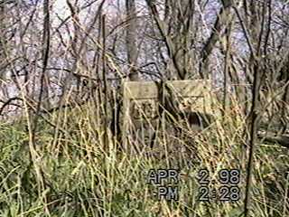
| The cemetery is in a tangle of trees and undergrowth. |
| |
 |
| |
 |
| |
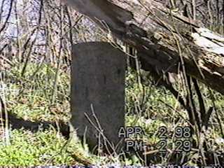
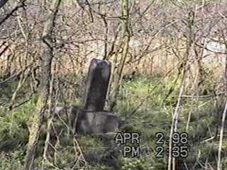
| Fortunately, another tree broke the fall of this tree before it fell on the headstone of this veteran, John Lewis. |
| |
 |
| |
 |
| |
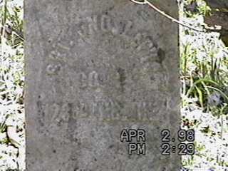
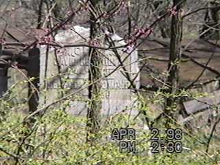
| There are a few large, impressive stones here. |
| |
 |
| |
 |
| |
 |
| |
 |
| |