GenealogyCemetery Records with photographs of headstones.
|
(aka Mount Tabor and Campground Cemetery)
|
The
following list is an attempt to show all known graves, using using
photographs of the headstones. Notes were supplemented with
marriage and census records plus genealogy records. There
certainly are unmarked graves plus a few unknown due to
missing, unreadable, destroyed or broken markers.
If you have knowledge of any
other graves which may not be shown below, please drop us an e-mail
and let us know. ![]()
© 2009 Daniel L Elliott
|
Surname |
Given Name |
Birth Date |
Death Date |
Inscriptions & Notes |
Photo
# Photo |
Section |
Row |
|
? |
? |
|
|
Stone illegible |
7192 |
South |
1 |
|
? |
? |
|
|
Stone illegible |
7193 |
South |
1 |
|
? |
? |
|
|
Stone illegible |
7241 |
South |
4 |
|
? |
? |
|
|
Stone illegible |
7242 |
South |
4 |
|
? |
? |
|
|
Stone illegible |
7245 |
South |
4 |
|
? |
? |
? |
? |
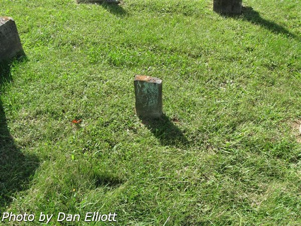
Only the top of what appears to be a badly weathered
child’s stone is still above ground. |
7643 |
South |
5 |
|
? |
? |
? |
? |
Can not read name.
Buried stone. |
7664 |
South |
8 |
|
? |
? |
9 Jan 1827 |
8 May 1867 |
Aged 40 years 3 M.
19 days. Broken stone. |
7665 |
South |
8 |
|
? |
? |
2 Feb 1800 |
19 May 1868 |
Broken stone. |
7682 7681 |
South |
9 |
|
? |
? |
? |
? |
Broken stone, no visible information. |
7684 |
South |
9 |
|
? |
? |
? |
? |
Base for headstone only. |
7717 |
South |
11 |
|
? |
Alice F |
? |
? |
Bottom of child’s stone is buried. |
7647 |
South |
5 |
|
? |
Hannah |
13 Mar 182? |
13 Mar 1865 |
Broken stone with replacement plaque. |
7678 |
South |
9 |
|
? |
Susannah |
1865 |
1866 |
A replacement stone only gives the given name for the
original broken stone. |
7644 |
South |
5 |


Section and Row
definitions.
7188 Memorial building on east side of cemetery.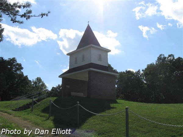 | 7227 USC&GS survey benchmark, located in sidewalk along east edge of cemetery. |
7837 View of southwest part of cemetery. | 7838 View of south-central part of cemetery. |
7839 View of north-central part of cemetery. | 7840 View of northwest part of cemetery. |