GenealogyCemetery Records with photographs of headstones.
|
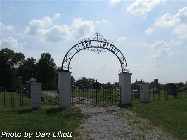
aka Clark Chapel Cemetery
|
The
following list is an attempt to show all known graves, using using
photographs of the headstones. Notes were supplemented with
marriage and census records plus genealogy records. There probably are unmarked
graves but only a few unreadable markers due to weathering of the stone.
If you have knowledge of any
other graves which may not be shown below, please drop us an e-mail
and let us know. ![]()
© 2009 Daniel L Elliott
6258 View of the east side of the cemetery from the southeast corner.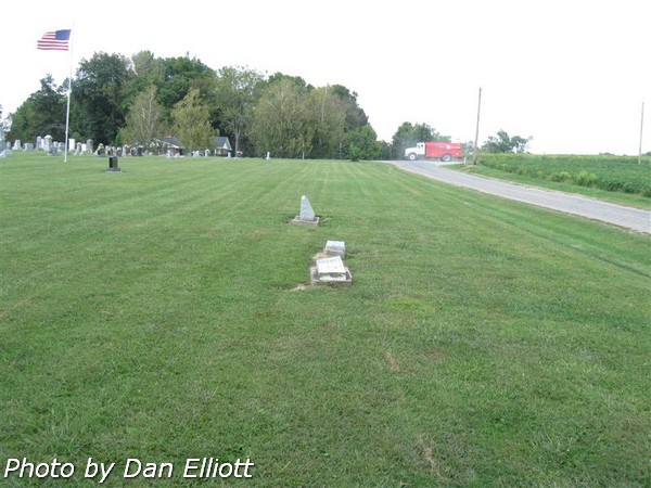 | 6390 View of the north-south service lane from the north gate.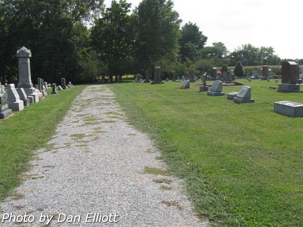 |
6565 View along the west edge of the cemetery looking south.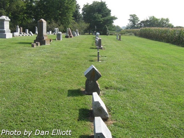 | 6598 View of the cemetery from the northwest corner looking to the southeast.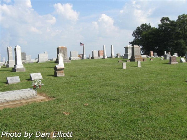 |
Section and Row
definitions.
For reference,
arbitrary sections were defined for this listing. The “West” section lies to the west of the
north/south access lane and the “East” section lies to the east of the service
road. Rows were numbered in both
sections beginning on the east side of the section.