GenealogyCemetery Records with photographs of headstones.
|
aka Old Union Cemetery
|
The
following list is an attempt to show all known graves, using using
photographs of the headstones. Notes were supplemented with
marriage and census records plus genealogy records. There
certainly are unmarked graves plus a few unknown due to
missing, unreadable, destroyed or broken markers.
If you have knowledge of any
other graves which may not be shown below, please drop us an e-mail
and let us know. ![]()
© 2009 Daniel L Elliott
4113 Looking southwest at intersection of Hwy 168 and CR 1050S.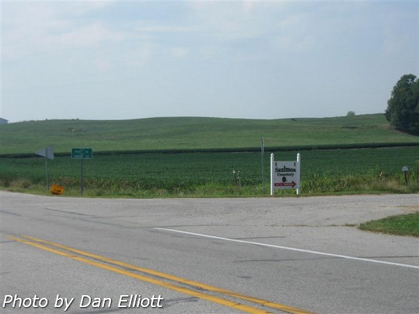 | 4115 Looking north along west side of cemetery.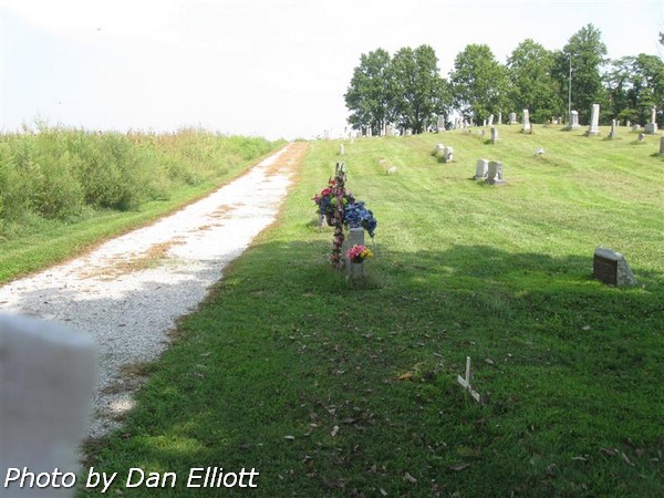 |
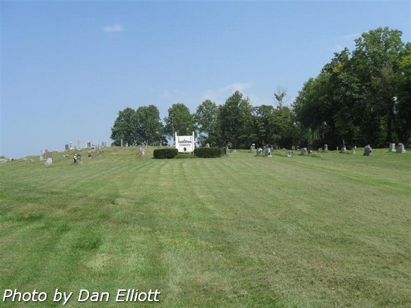
4197 View from northwest corner of cemetery looking south. | 4335 View from north center of cemetery looking south.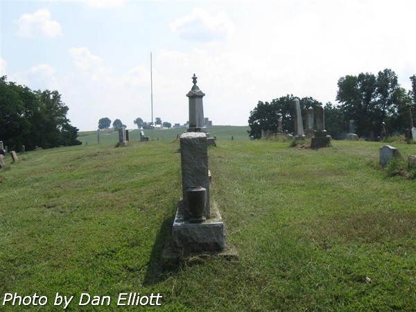 |
4442 View of CR 1050S from south end of cemetery.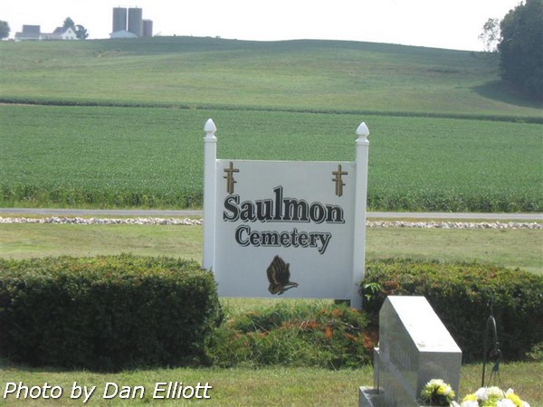 | 4445 View of the south east entrance from CR 1050S. |
4670 View from the top of the cemetery hill looking south.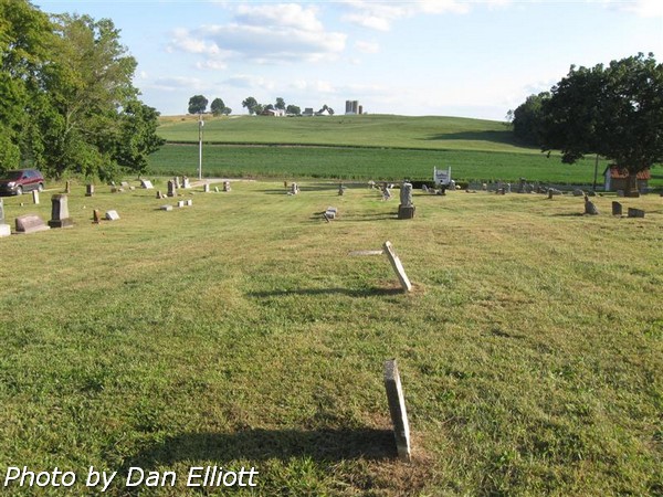 | 4841 View of the cemetery from the southeast corner looking northwest.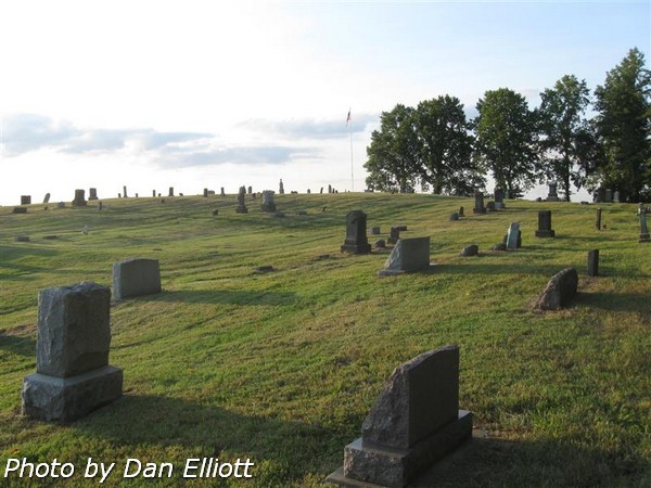 |