GenealogyCemetery Records with photographs of headstones.
|
|
The following list is a sincere attempt to show all known graves using several different sources and periodically updated headstone photographs. There may be other graves which are unknown/unlisted due to missing, unreadable, destroyed or broken markers. If you have knowledge of any other graves which may not be shown below, or of any incorrect information whatsoever, I would be grateful for your assistance. Please send me an e-mail and let me know. -George Pickersgill
(Please avoid notifying me of very recent burials that do not appear here. I will capture and incorporate these on the next scheduled cemetery update.) ![]()
|
Surname |
Given Name |
Birth Date |
Death Date |
Inscriptions & Notes |
Photo
# Photo |
Sect-ion |
Row |
|
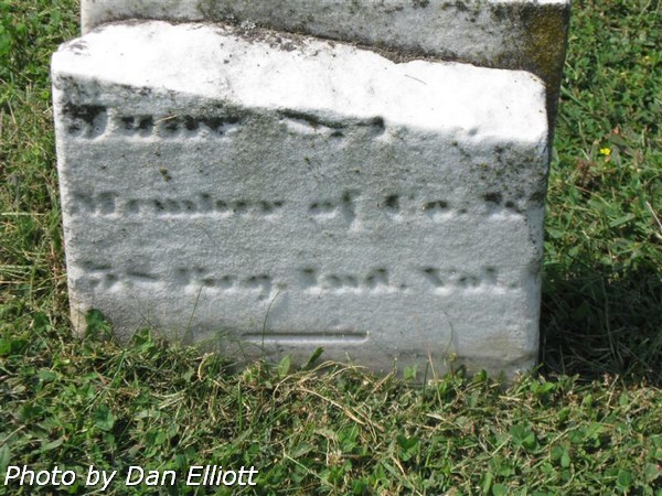
? |
? |
? |
? Jun ?? |
Broken
Stone. Member of
 |
6078
|
North |
13 |
|
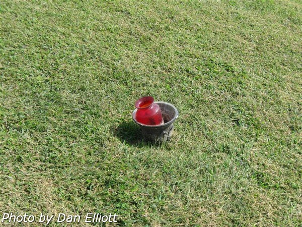
? |
? |
? |
? |
Unmarked
grave; flower container only. |
6174
|
South |
2 |
|
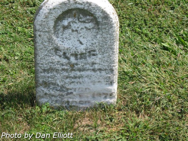
? |
Elias |
? |
?? ?? 1876 |
Stone is
too worn to read. |
6098
|
North |
14 |
5857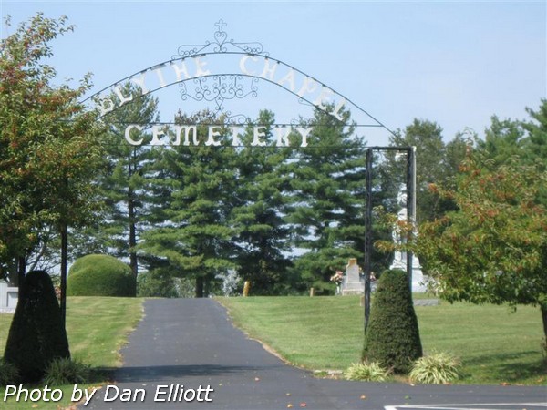 | 5858 |
6160 | 6161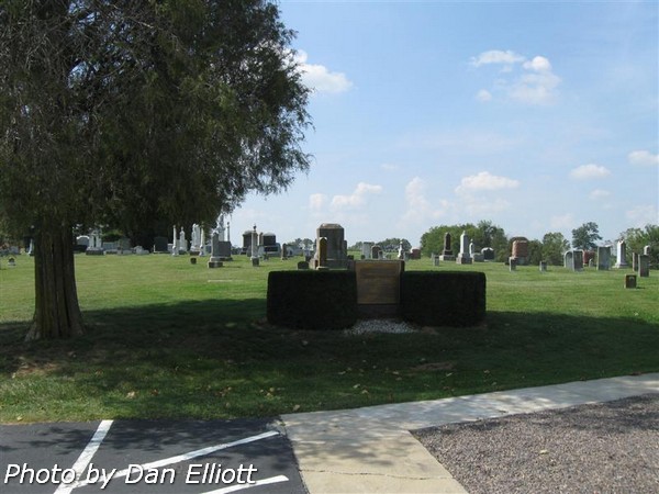 |
6252 | 6253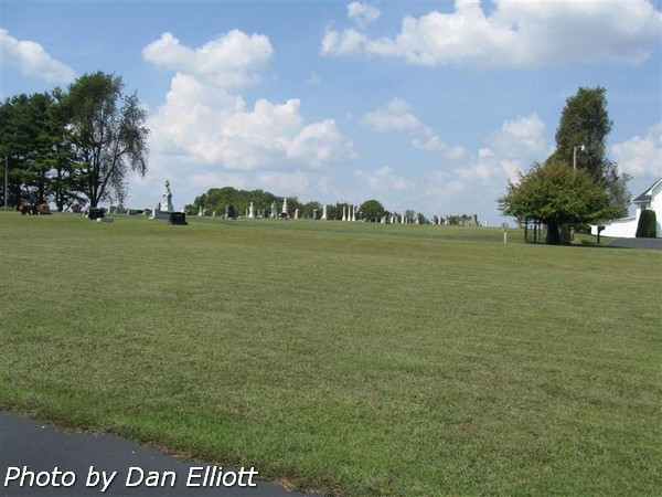 |
Section and Row
definitions.
For reference, arbitrary sections were defined for this listing. The "North" section lies within the bounds of the “U” shaped access lane to the north of the center lane and the "South" section lies to the south of the center lane of the service road. Rows were numbered in both sections beginning on the north side of the section.