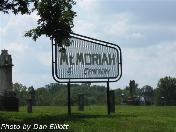
GenealogyCemetery Records with photographs of headstones.
|
Includes section known as Spillman Cemetery on Mount Moriah.
|
The
following list is an attempt to show all known graves, using using
photographs of the headstones. Notes were supplemented with
marriage and census records, two prior surveys, a few contributed records plus genealogy records. There
certainly are unmarked graves plus a few unknown due to
missing, unreadable, destroyed or broken markers.
If you have knowledge of any
other graves which may not be shown below, please drop us an e-mail
and let us know. ![]()
© 2009 Daniel L Elliott
|
Surname |
Given Name |
Birth Date |
Death Date |
Inscriptions & Notes |
Photo
# Photo |
Sect-ion |
Row |
|
? |
? |
? |
? |
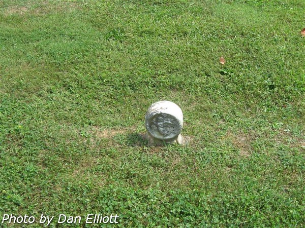
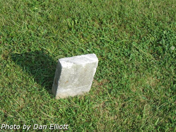
Buried
stone. (This style stone is usually
that used for an infant.) |
5307 |
West |
21 |
|
? |
? |
? |
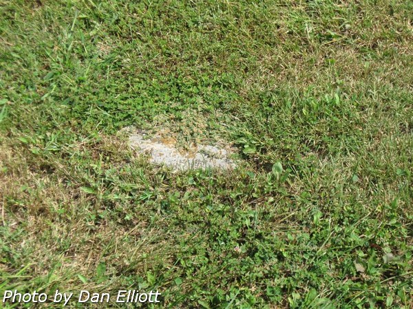
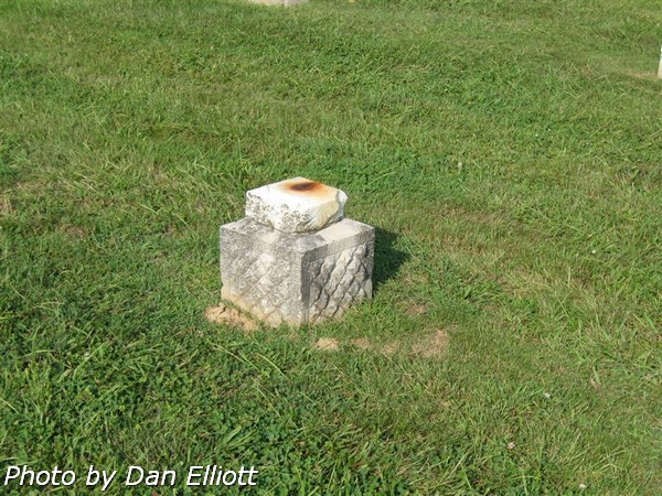
? |
Only base
of headstone remains. |
5367 |
West |
19 |
|
? |
? |
? |
? |
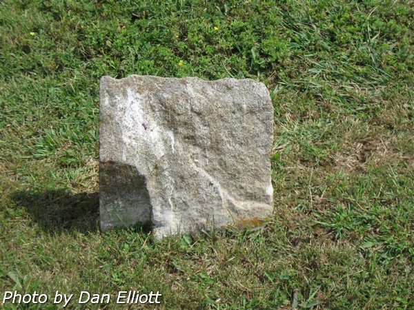
Rough
stone; no visible information. |
5368 |
West |
19 |
|
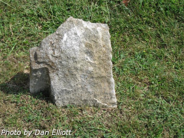
? |
? |
? |
? |
Rought
stone; no visible information. |
5369 |
West |
19 |
|
? |
? |
? |
? |
No visible information. |
5486 |
West |
14 |
|
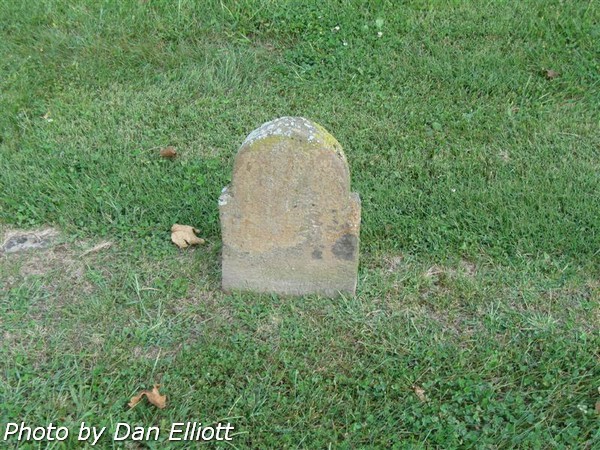
? |
? |
? |
? |
No
visible information. |
5487 |
West |
14 |
|
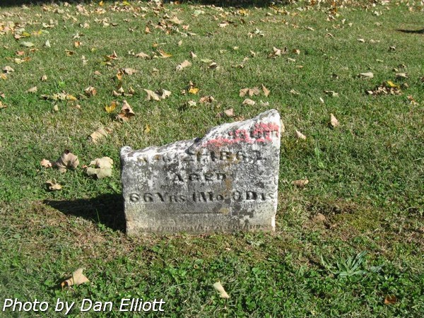
? |
? |
-- |
|
Age 66
yrs. 1 mos. 3 dys. |
7611 |
West |
14 |
|
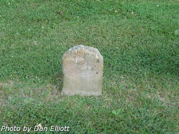
? |
? |
? |
? |
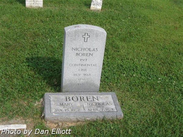
Base of
broken stone (to left of Nicholas Boren's stones.) |
5613 |
West |
10 |
|
? |
? |
? |
? |
No
visible information. |
5731 |
West |
6 |
|
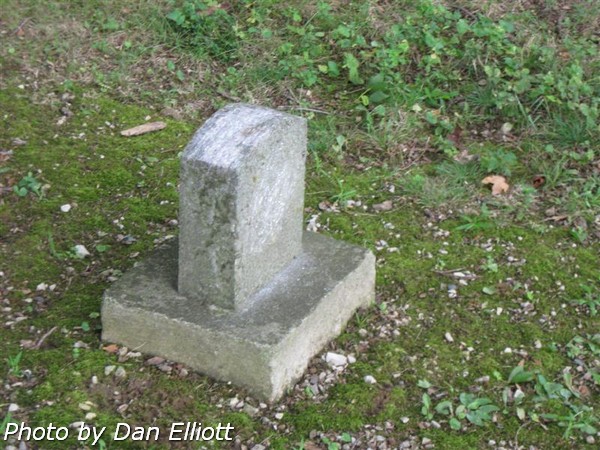
? |
? |
? |
? |
Only base
of stone is present. (Same in earlier
survey.) |
5748 |
West |
5 |
|
? |
Jesse |
-- |
-- |
Only
given name is readable. |
4955 |
East |
1 |
|
? |
Walter E |
16 May 1882 |
|
Son of ?
A & L J ? (Stone
was only partially readable on earlier survey; nothing is now readable.) |
5635 |
West |
10 |
Section and Row
definitions.
For reference, arbitrary sections were defined for this listing. The “West” section lies within the bounds of the “U” shaped access lane and the “East” section lies along the east edge of the cemetery and the service road. Rows were numbered in both sections beginning on the west side of the section.
Within the “West” section and along the county road on the north side of the cemetery (slightly to the west of center) lies what was know as the “Spillman on Mount Moriah Cemetery.” Burials in this section, listed separately in the UNION TOWNSHIP DIRECTORY OF CEMETERIES, published by The Gibson County Historical Society, Inc. (1996) have been identified in this compilation with an “S” suffix on the row number. There presently is no visible physical definition of the boundaries of this section.
Row numbers within the
“West” section are “difficult” to assign due to burials along the south side of
the cemetery not being in alignment with those in the greater part of the
section; also some rows in the north-center are not well aligned. Therefore, assignment of row numbers is
somewhat arbitrary. This work attempted
to maintain a complete north/south row, even when a section could arguably be
assigned to an adjacent row.