If you have knowledge of any other graves which may not be shown below, please drop us an e-mail and let us know.
GenealogyCemetery Records with photographs of headstones. |
also known as Decker Chapel
|
The
following list is an attempt to show all known graves, using several
different sources. There may be other graves which are unknown due to
missing, unreadable, destroyed or broken markers.
If you have knowledge of any
other graves which may not be shown below, please drop us an e-mail
and let us know. ![]()
|
Surname |
Given Name |
Birth Date |
Death Date |
Inscriptions and Notes. |
Image
#
Image |
Section |
Row |
|
? |
-- |
-- |
-- |
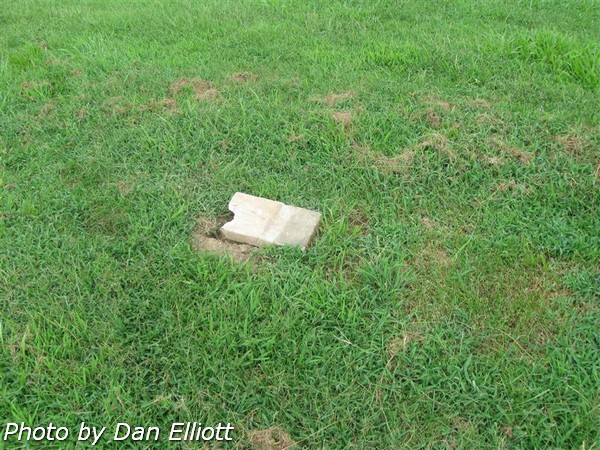
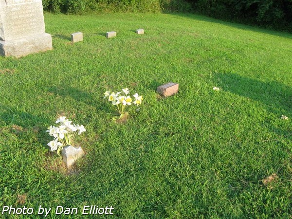
Broken
stone. No readable information. |
2548
|
2 |
14 |
|
? |
? |
- |
- |
-- |
2084
|
1 |
12 |
|
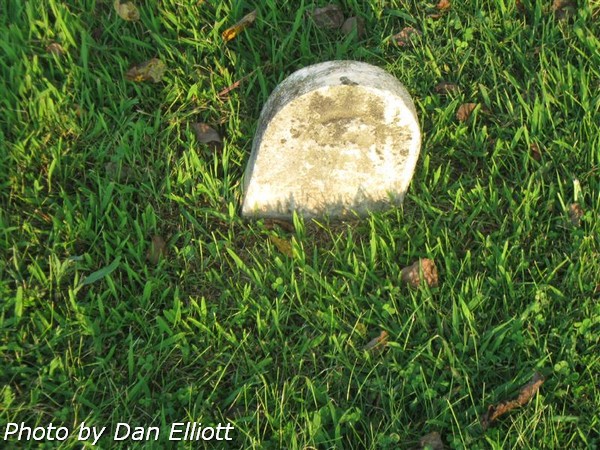
? |
? |
-- |
-- |
Several
small unreadable stones |
2085
|
1 |
13 |
|
? |
? |
-- |
-- |
? Co K |
2112
|
1 |
15 |
|
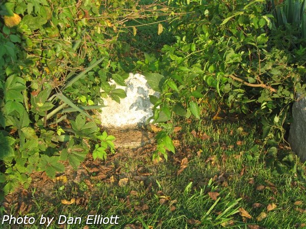
? |
? |
-- |
-- |
2 Broken
stones. |
2158
|
1 |
18 |
|
? |
? |
-- |
-- |
-- |
2175
|
1 |
18 |
|
? |
? |
-- |
-- |
Near other Thompson family burials. |
2185
|
1 |
18 |
|
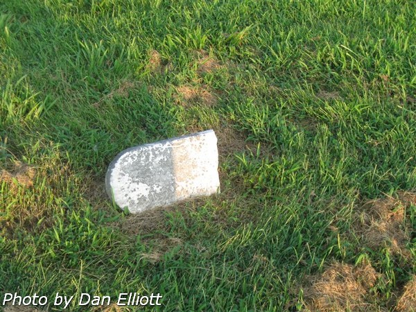
? |
? |
? |
30 ?? 1878 |
-- |
2206
|
1 |
19 |
|
? |
? |
-- |
-- |
-- |
2207
|
1 |
19 |
|
? |
? |
-- |
-- |
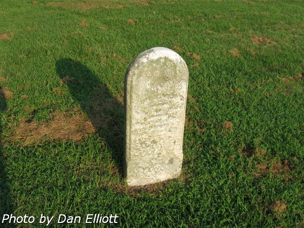
No
readable information; stone on right of photo. |
4527
|
1 |
20 |
|
? |
? |
-- |
-- |
Concrete
base for headstone; no stone. |
2483
|
2 |
6 |
|
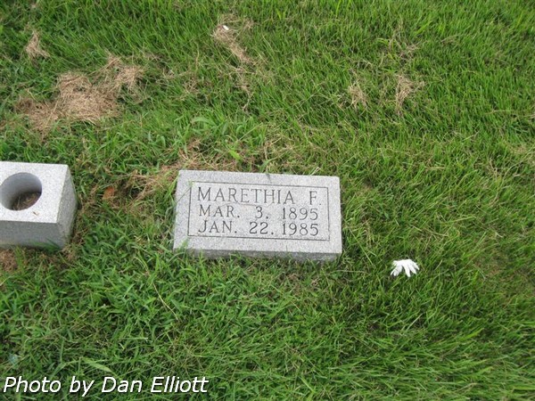
? |
Marethia F |
|
|
-- |
2617
|
2 |
19 |
County Road 175E

|
|
|
|
|
|
|
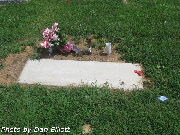
This area is not in use. |
||