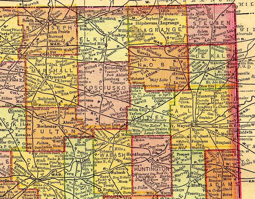
This map is from an 1895 Rand McNally Atlas of the World and is provided with the permission of Ray Sterner. Other maps available from Mr. Sterner can be found at Color Landform Atlas of the United States.