The Cemeteries Under Brookville Lake
In 1974 the United States Army Corps of Engineers built an earthen dam across the East Fork of the Whitewater River, right at the edge of Brookville. The purpose of the dam was flood control and storm water management, and it created the beautiful Brookville Lake. Trouble was, it covered the town of Fairfield with hundreds of feet of water and thus buried a lot of Franklin County history. It also would have drowned 13 pioneer cemeteries, but they dug up all the graves and moved them to higher ground. Most were moved to a cemetery at the top of the valley named "New Fairfield," which is also known as "Sims-Brier." This is a list of those cemeteries.
The new cemetery is in Section 23, Township 10N, Range 2W. GPS Coordinates: 39.5158N, 84.9653W

For composite burial list of graves that were moved, click HERE
 
Click on the cameras
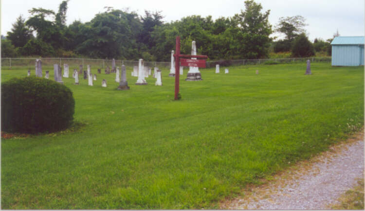
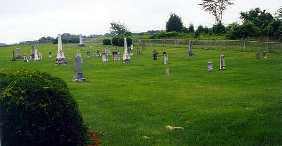
    for views of the new cemetery.
CEMETERY NAME OTHER NAMES GRAVE LISTING
Kober Kolter #1 Kober Cemetery
Abner-McCarty --- #2 Abner-McCarty Cemetery
Grace Stout Logan #3 Grace Stout Cemetery
Gavin Gravin #4 Gavin Cemetery
Old Templeton --- #5 Old Templeton Cemetery
Klipple --- #6 Klipple Cemetery
Dickerson --- #7 Dickerson Cemetery
Barrickman --- #8 Barrickman Cemetery
Brier Brick, Fairfield South #9 Brier Cemetery
Leviston & Templeton Templeton #10 Templeton Cemetery
Harrell Ewing #11 Harrell Cemetery
Sims --- #12 Sims Cemetery
Jonas --- #13 Jonas Cemetery


Top of Page


USGenWeb Notice:  In keeping with our policy of providing free information on the Internet, data may be used by non-commercial entities, as long as this message remains on all copied material. These electronic pages cannot be reproduced in any format for profit or other presentation without permission of the author. This notice must be included on any reproduction.

Comment or Question?
Contact Me!