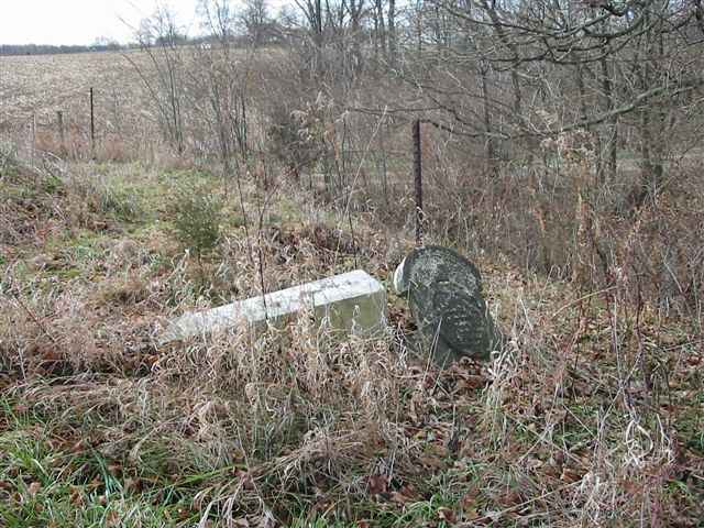
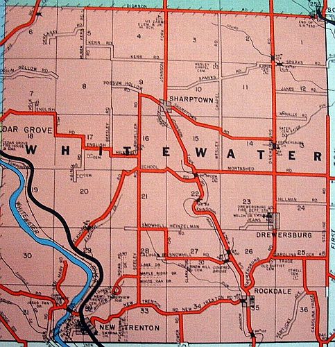
| Sater North |
--- |
1856 |
Burial Listing |
Whitewater |
S12-T8N-R1W
39.3639N,
84.8358W |
On northside of McNally Road, east of Drewersburg Pike. There
are a couple of stones left. This cemetery is not eligible for restoration with Cemetery Commission funds. PHOTO BY CEMETERY COMMISSION. |
 |
Poor |
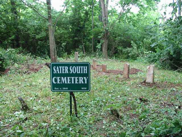
| Sater South |
--- |
1840 |
Burial Listing |
Whitewater |
S13-T8N-R1W
39.3592N,
84.8308W |
About 1/3 mile east of Drewersburg Pike and 1/4 mile south of
McNally Road. PHOTO BY CEMETERY COMMISSION. |
|
RESTORED 2009 |
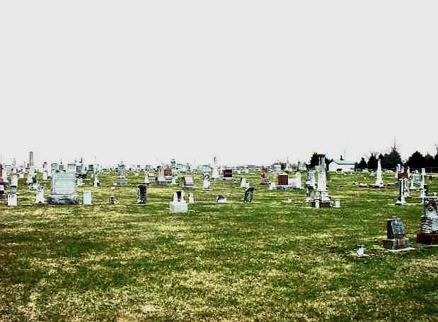
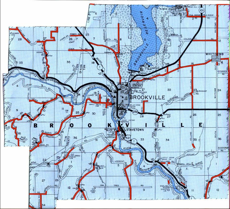
| Schumacher |
Usher |
1888 |
Burial Listing |
Brookville |
S7-T8N-R2W
39.3722N,
85.0317W |
At west end of Oak Tree Road. PHOTOS BY CEMETERY
COMMISSION. |
|
Good |
| Scipio |
Coldwell |
Unknown |
Burial Listing |
Butler Co OH |
S1-T8N-R1W |
Located in Butler County, Ohio at junction of State Road 126
& 129 on the state line. |
|
Unknown |
| Seely Burial Grounds |
--- |
1849 |
Burial Listing |
Whitewater |
S22-T8N-R1W
39.3469N,
84.8567W |
Located on the Cox property on Mortashed Road. |
|
Poor |
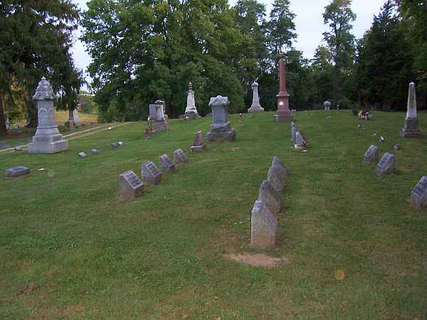
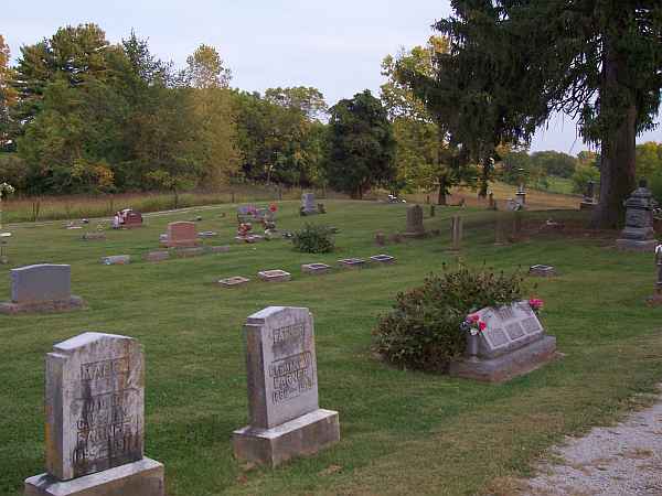
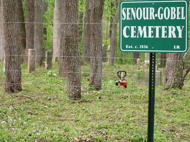
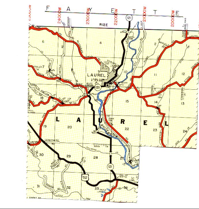
| Senour-Gobel |
Gobel |
1836 |
Burial Listing |
Laurel |
S34-T12N-R12E
39.4533N,
85.1706W |
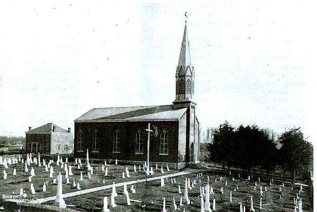
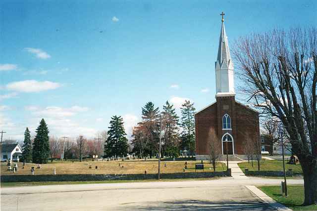
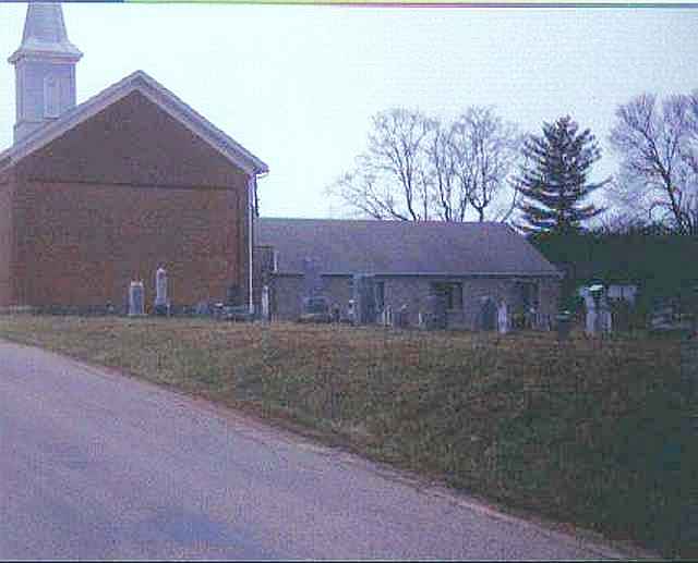
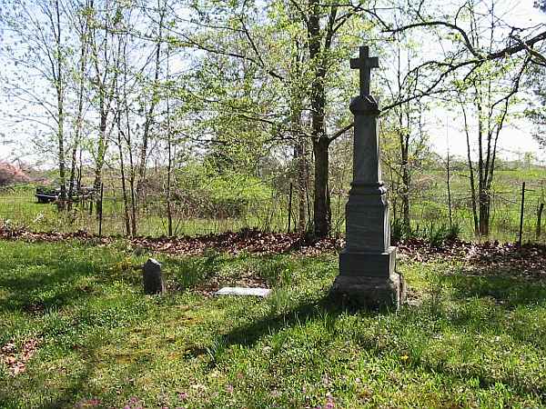
2 1/2 miles west of Metamora on northside of US 52. PHOTO
BY CEMETERY COMMISSION. |
|
RESTORED 2007 |
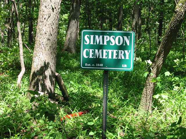
| Simpson |
--- |
1840 |
Burial Listing |
Laurel |
S31-T12N-R12E
39.4466N,
85.2284W |
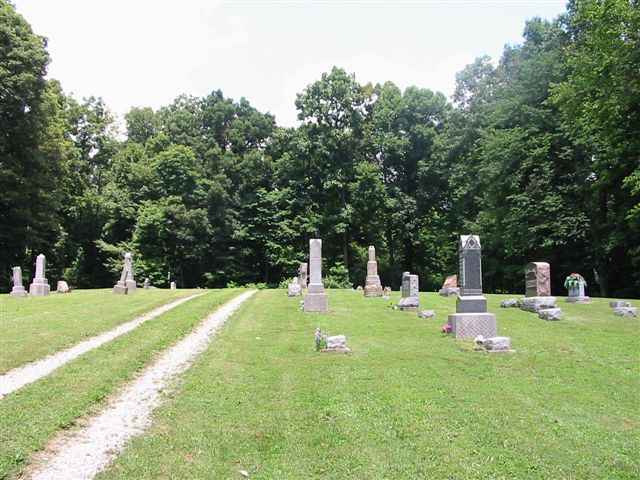
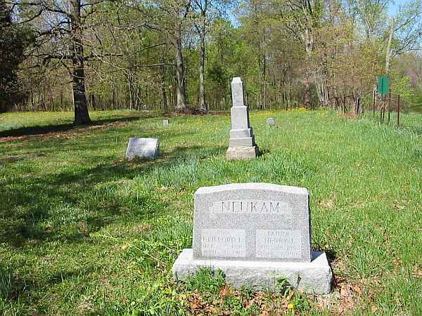
1/2 mile north of Frazier Road, 4 miles south of US 52. PHOTOS BY CEMETERY COMMISSION. |
|
RESTORED 2012 |
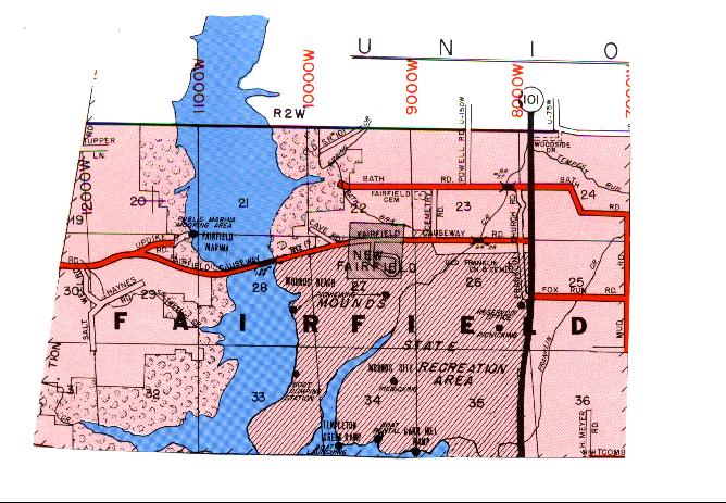
| Sims-Brier |
New Fairfield |
1971 |
Burial Listing |
Fairfield |
S23-T10N-R2W |
The cemetery is made up of graves moved from 13 cemeteries from Franklin and Union Counties that were moved when the Brookville Lake was built in the early 70s. |
|
Excellent |
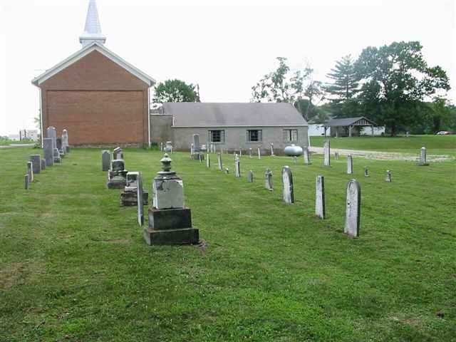
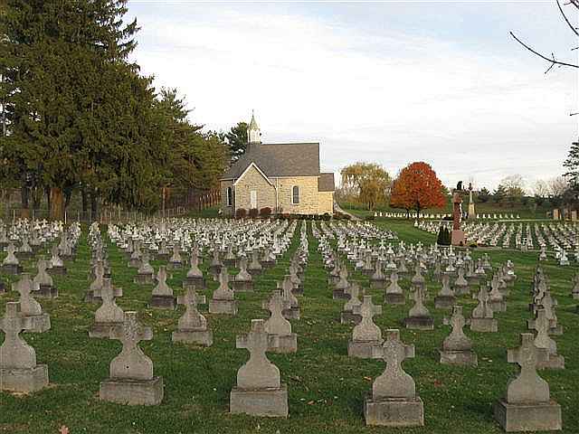
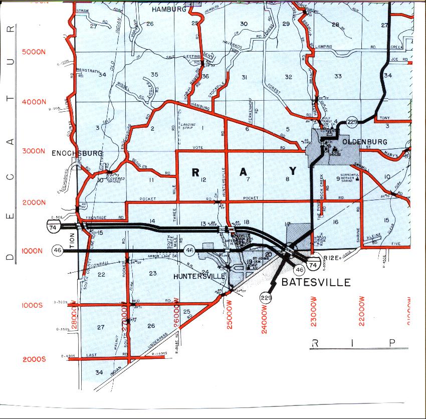
| Sisters of St Francis |
Oldenburg Catholic |
1867 |
Burial Listing |
Ray |
S4-T10N-R2E
39.3436N,
84.9378W |
In Oldenburg, adjacent to Holy Family Cemetery |
|
Excellent |
| Snow Hill |
--- |
1816 |
Burial Listing |
Whitewater |
S27-T8N-R1W
39.3267N,
84.8631W |
South side of Snow Hill Road. PHOTO 2 BY CEMETERY COMMISSION. |
|
RESTORED BY WHITEWATER TWP TRUSTEE IN 2005 |
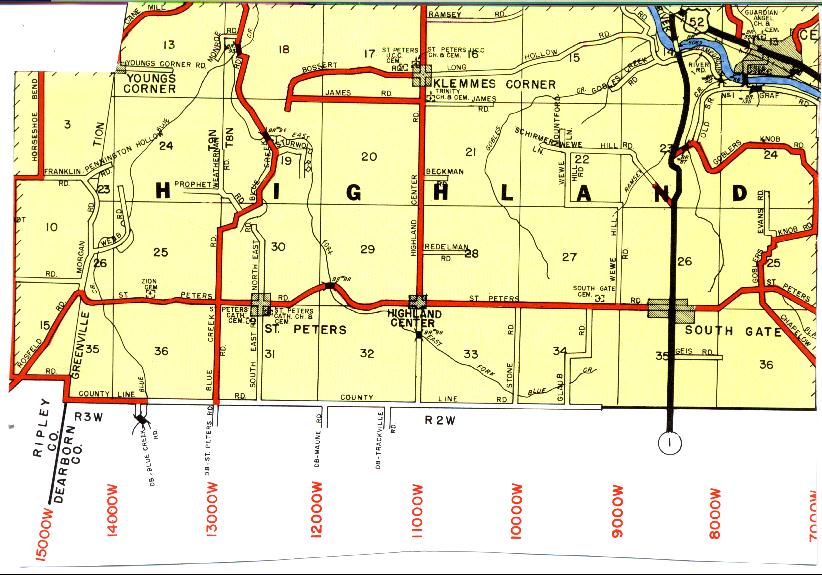
| South Gate |
St John |
1815 |
Burial Listing |
Highland |
S27-T8N-R2W
39.3214N,
84.9703W |
North side of St Peters Road, 1 mile west of South Gate. |
|
Good |
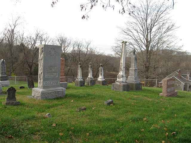
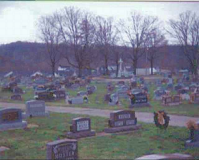
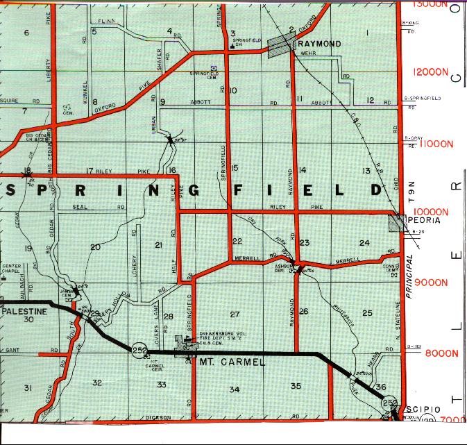
| Springfield |
--- |
1835 |
Burial Listing |
Springfield |
S3-T9N-R1W
39.4603N,
84.8675W |
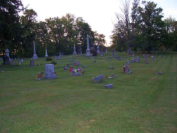
South of Oxford Pike, 1/4 mi W of Springfield Rd. |
|
RESTORED BY SPRINGFIELD CEM ASSN IN 2009 |
| Stang |
--- |
Early 1800s |
Notes |
Brookville |
--- |
Castle Road, 3 miles west of Brookville |
|
Unknown |
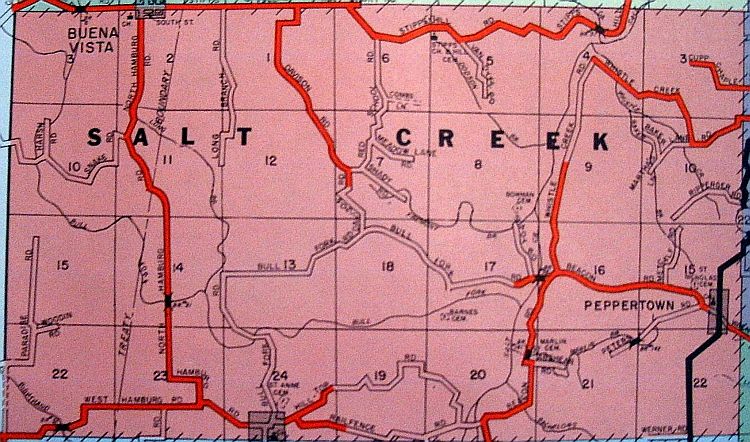
| Stipps Hill |
--- |
1850 |
Burial Listing |
Salt Creek |
S3-T11N-R11E
39.4364N,
85.2253W |
On the southside of Stipps Hill Road at junction of North
Hamburg Road. |
|
RESTORED 2012 |
| Stokes |
Freeman-Sholts, Whitewater Twp Abandoned |
1845 |
Burial Listing |
Whitewater |
S35-T10N-R1W
39.3194N,
84.8481W |
On hill at the north edge of Rockdale, listed as an abandoned cemetery. PHOTO BY CEMETERY COMMISSION. |
|
Poor |
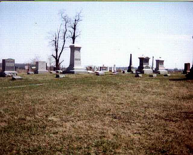
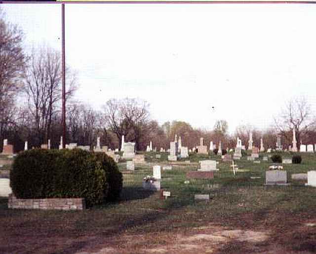
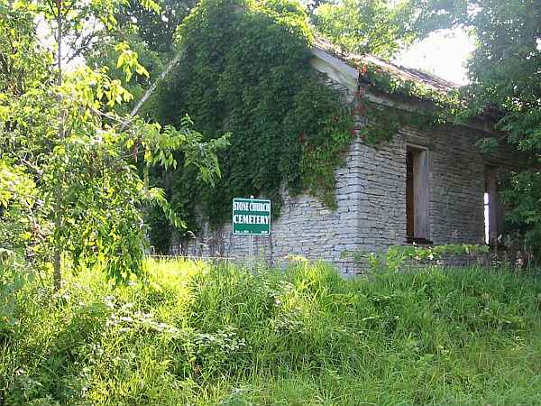
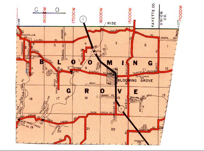
| Stone Church |
--- |
1819 |
Burial Listing |
Blooming
Grove |
S8-T12N-R11E
39.5050N,
85.1022W |
On north side of Stone Church Road at intersection of Smokey
Hollow Road. PHOTOS 1 & 2 BY CEMETERY COMMISSION. |
|
Good |
| Stoops Farm |
--- |
1810 |
Burial Listing |
Brookville |
S11-T11N-R13E
39.4250N,
85.0522W |
South of Levee Road. |
|
Unknown |
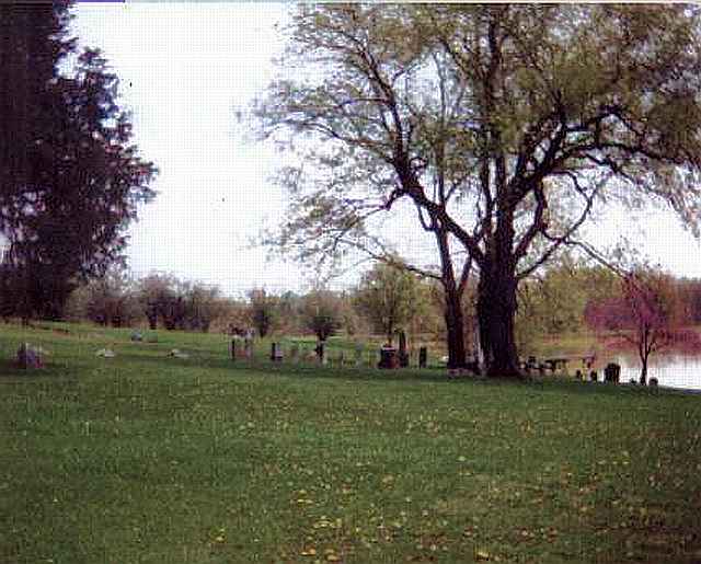
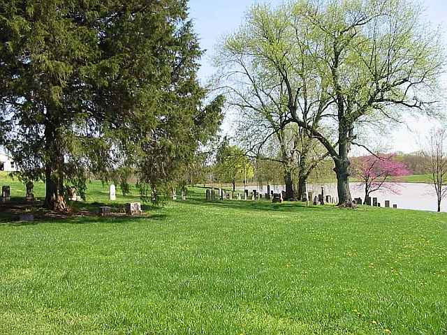
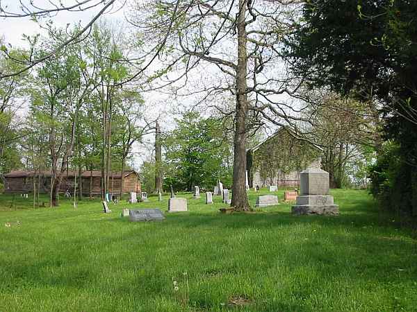
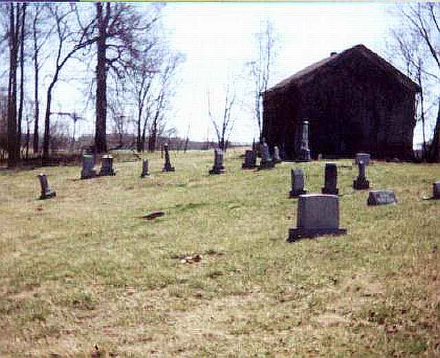
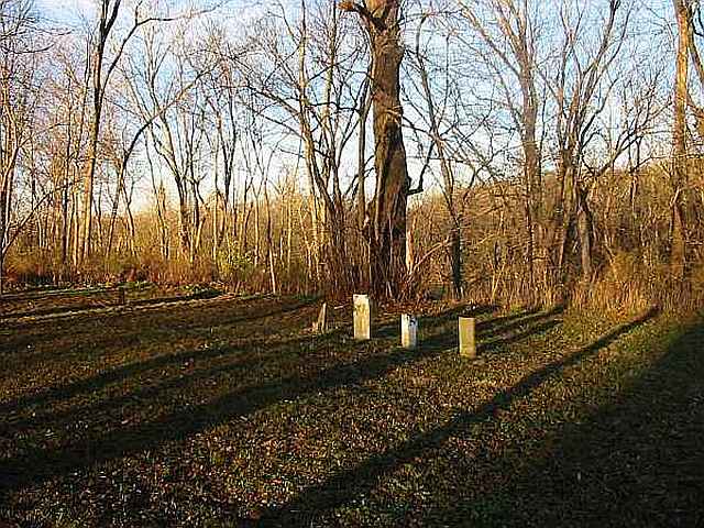
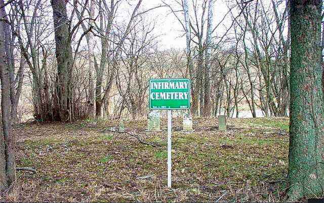
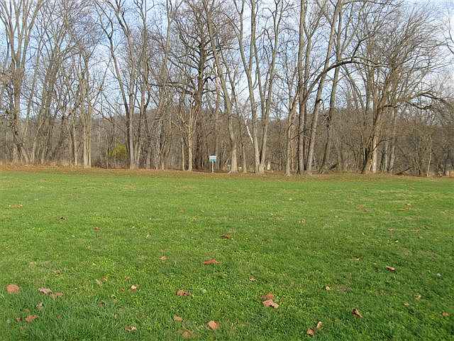
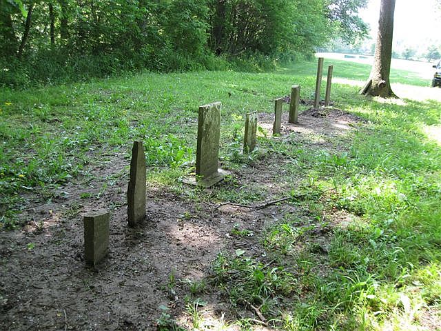
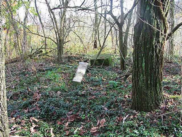
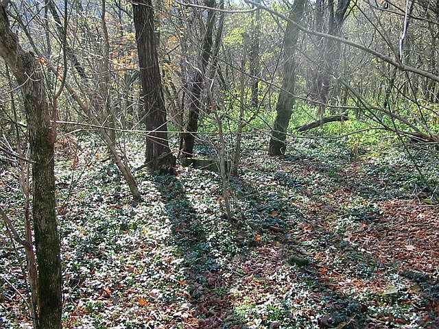
| Stringer Family |
Infirmary, Poor Farm |
1815 |
Burial Listing |
Brookville |
S32-T9N-R2W
39.4056N,
85.0125W |
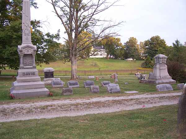
The photos here are of both the Infirmary Cemetery and the Stringer Cemetery. The empty field was the Infirmary, and there are reportedly about 60 inmates buried there but with no stones. The stones behind the sign are in Stringer. PHOTOS BY CEMETERY COMMISSION. |
|
RESTORED 2010 |
| Terry |
--- |
1870 |
Burial Listing |
Whitewater |
S28-T8N-R1W
39.3472N,
84.9036W |
Haining Road, south of English Hill Road. PHOTO BY CEMETERY COMMISSION. |
|
Fair |
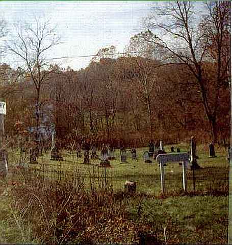
| Thomas, Willie Farm |
St Philomena |
1844 |
Burial Listing |
Brookville |
S23-T11N-R13E
39.3917N,
85.0486W |
North of Wolf Creek Road at Greenville Treaty Line. |
|
Fair |
| Todd Cemetery |
--- |
1839 |
Burial Listing |
Whitewater |
S28-T8N-R1W
39.3346N,
84.8867W |
near 4152 Snow Hill Road. PHOTO BY CEMETERY COMMISSION. |
|
RESTORED BY WHITEWATER TWP TRUSTEE IN 2005 |
| Trinity Lutheran |
--- |
1849 |
Burial Listing |
Highland |
S16-T8N-R2W
39.3508N,
85.0033W |
On east side of Highland Center Road at intersection of James
Road south of Klemme's Corner. PHOTO 2 BY CEMETERY COMMISSION. |
|
Excellent |
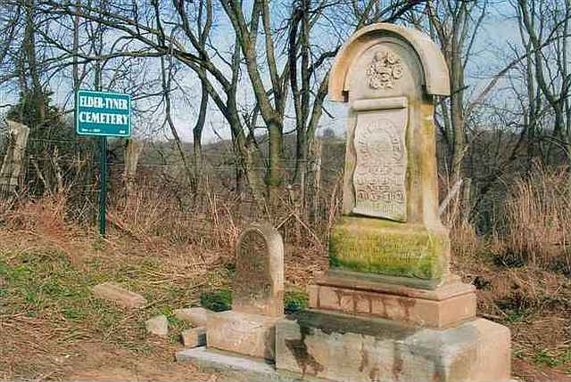
| Tyner |
Elder-Tyner |
1830 |
Burial Listing |
Brookville |
S33-T9N-R2W
39.3986N,
84.9850W |
This is an abandoned cemetery 2.9 miles south of Brookville
on Lee Orschell Farm. PHOTO BY CEMETERY COMMISSION. |
|
RESTORED 2007 |
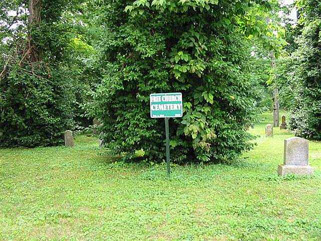
| Union |
Free, Free Church |
1844 |
Burial Listing |
Highland |
S13-T8N-R2W
39.3550N,
84.9378W |
Located at south end of 4th Street in Cedar Grove behind the
old fire department. |
|
Unknown |
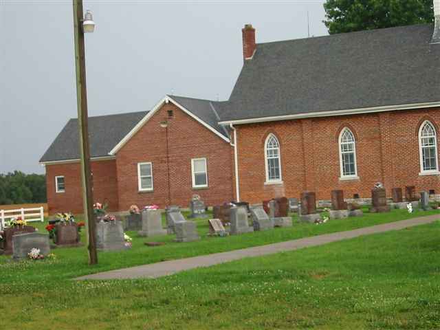
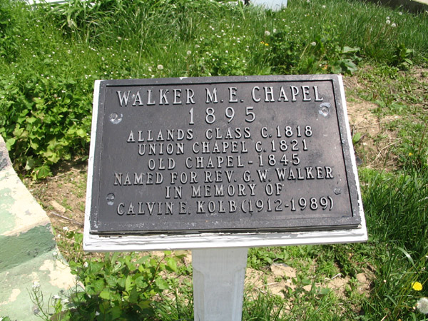
| Union Chapel |
Walker Chapel, Old Chapel |
1818 |
Burial Listing |
Butler Co, OH |
39.4578N
84.8068W |
Reily Township, Butler Co, OH |
|
Unknown |
| Usher |
Schumacher |
1888 |
Burial Listing |
Brookville |
S7-T8N-R2W
39.3722N,
85.0317W |
At west end of Oak Tree Road. PHOTOS BY CEMETERY
COMMISSION. |
|
Good |
| Utsler |
--- |
1867 |
Burial Listing |
Brookville |
S3-T8N-R2W
39.3806N,
84.9961W |
On River Road across from Little Cedar. PHOTOS BY CEMETERY COMMISSION. |
|
Poor |
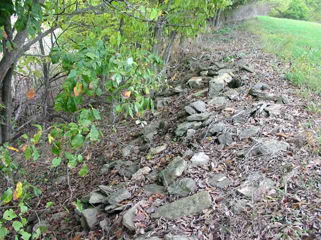
| Vincent |
--- |
1833 |
Burial Listing |
Brookville |
S19-T11N-R2W
39.4281N,
85.0328W |
St Mary's Road. This illustrates how some old cemeteries were treated by farmers some years ago. PHOTO BY CEMETERY COMMISSION. |
|
Poor |
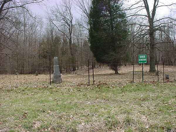
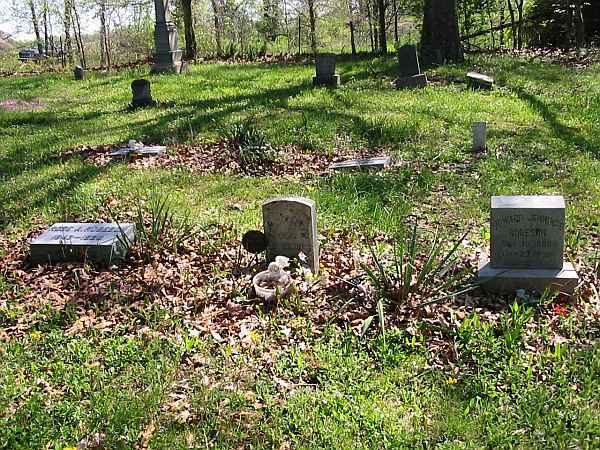
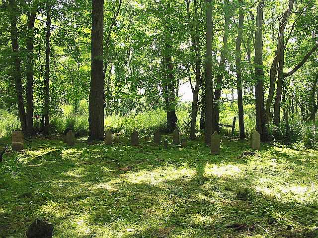
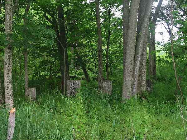
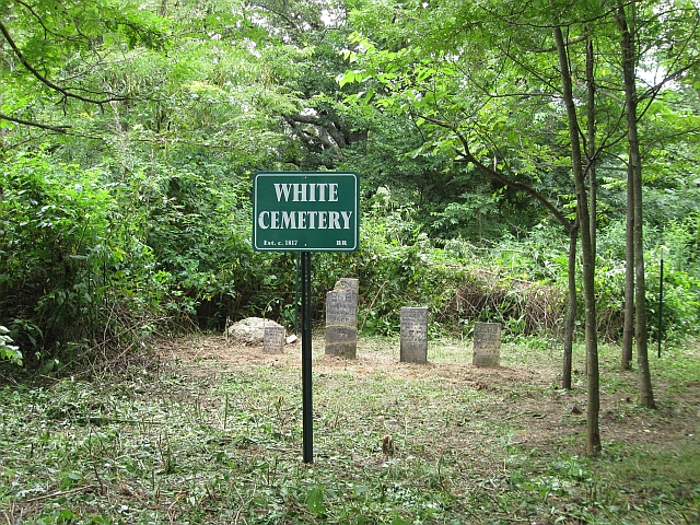
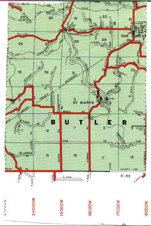
| White, Frank |
Jones-Gloshen,
Jones-Clawson
John Alley |
1830 |
Burial Listing |
Butler |
S21-T11N-R13E
39.3839N,
85.0800W |
2.5 miles west of Oak Forest on Pump House Road. |
|
RESTORED 2007 |
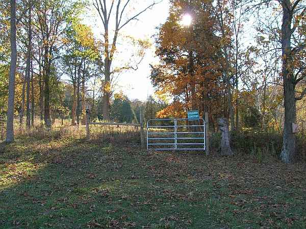
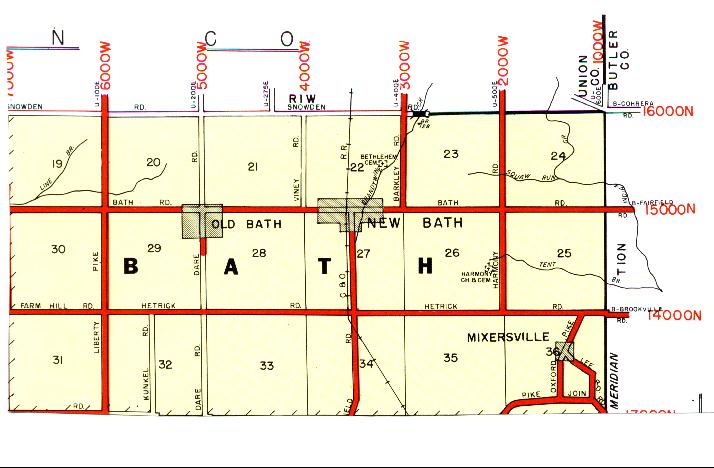
| White Private |
--- |
1830 |
Burial Listing |
Bath |
S24-T10N-R1W
39.5134N,
84.8268W |
On east side of Burns Farm on a bank above a small stream. PHOTO BY DON DUNAWAY |
|
RESTORED 2009 |
| Whitewater Township |
--- |
|
Burial Listing |
Whitewater |
S17-T8N-R1W |
--- |
|
Unknown |
| Whitewater Twp Abandoned |
Freeman-Sholts, Stokes |
1845 |
Burial Listing |
Whitewater |
S35-T10N-R1W
39.3194N,
84.8481W |
On hill at the north edge of Rockdale, listed as an abandoned cemetery. PHOTO BY CEMETERY COMMISSION. |
|
Poor |
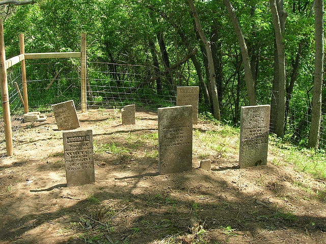
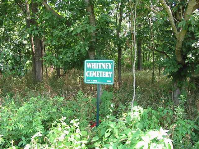
| Whitney |
--- |
1842 |
Burial Listing |
Whitewater |
S19-T8N-R1W
39.3486N,
84.9319W |
Approx 1 mile west of Cedar Grove, 1/2 mile east of Graf Road
with no access to the cemetery. Visitors may not be welcome, and plans for restoration have been cancelled. PHOTO BY CEMETERY COMMISSION. |
|
Poor |
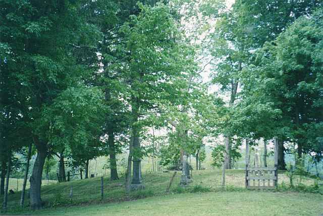
| Wiley |
--- |
Before
1850 |
Notes |
Laurel |
--- |
Cemetery is in a wooded area south of Frazier Road and south of US 52. |
|
Fair |
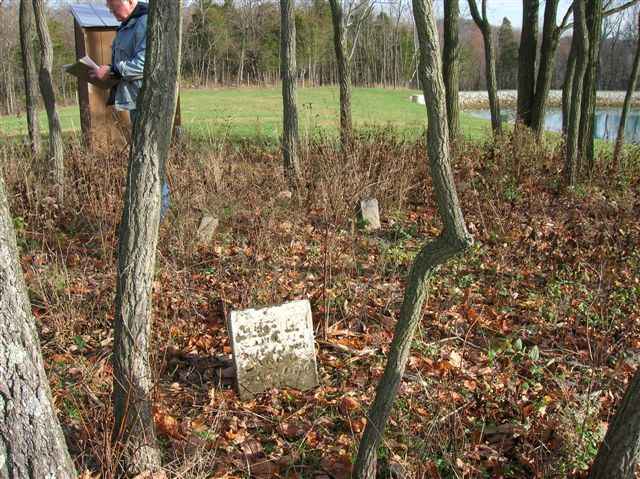
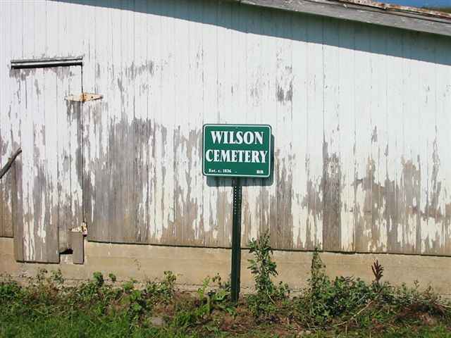
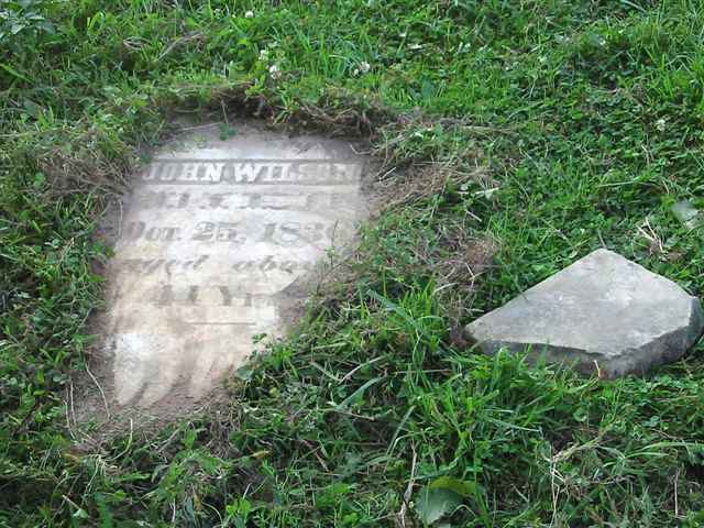
| Wilson Cemetery |
--- |
1836 |
Burial Listing |
Brookville |
S3-T11N-R13E
39.4303N,
85.0683W |
This cemetery has been destroyed for all practical purposes. Photo 2 is of the sole surviving stone. PHOTOS BY CEMETERY COMMISSION. |
|
Gone |
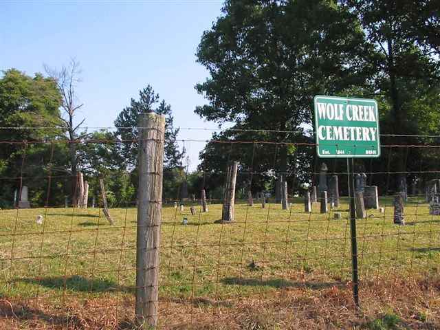
| Wolf Creek |
Jones-Lanning |
1844 |
Burial Listing |
Butler |
--- |
PHOTO BY CEMETERY COMMISSION. |
|
Very Good |
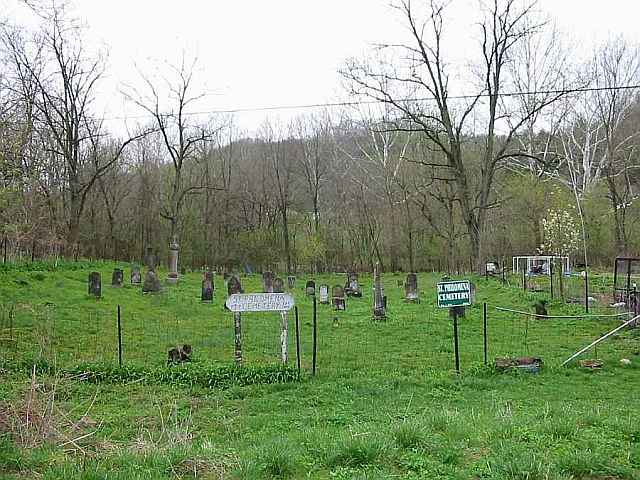
| Wolf Creek |
St Philomena
Willie Thomas Farm |
1844 |
Burial Listing |
Brookville |
S23-T11N-R13E
39.3917N,
84.8481W |
North of Wolf Creek Road at Greenville Treaty Line. |
|
Fair |


